Exhibitions - The Relief Map of the New York City Water Supply System
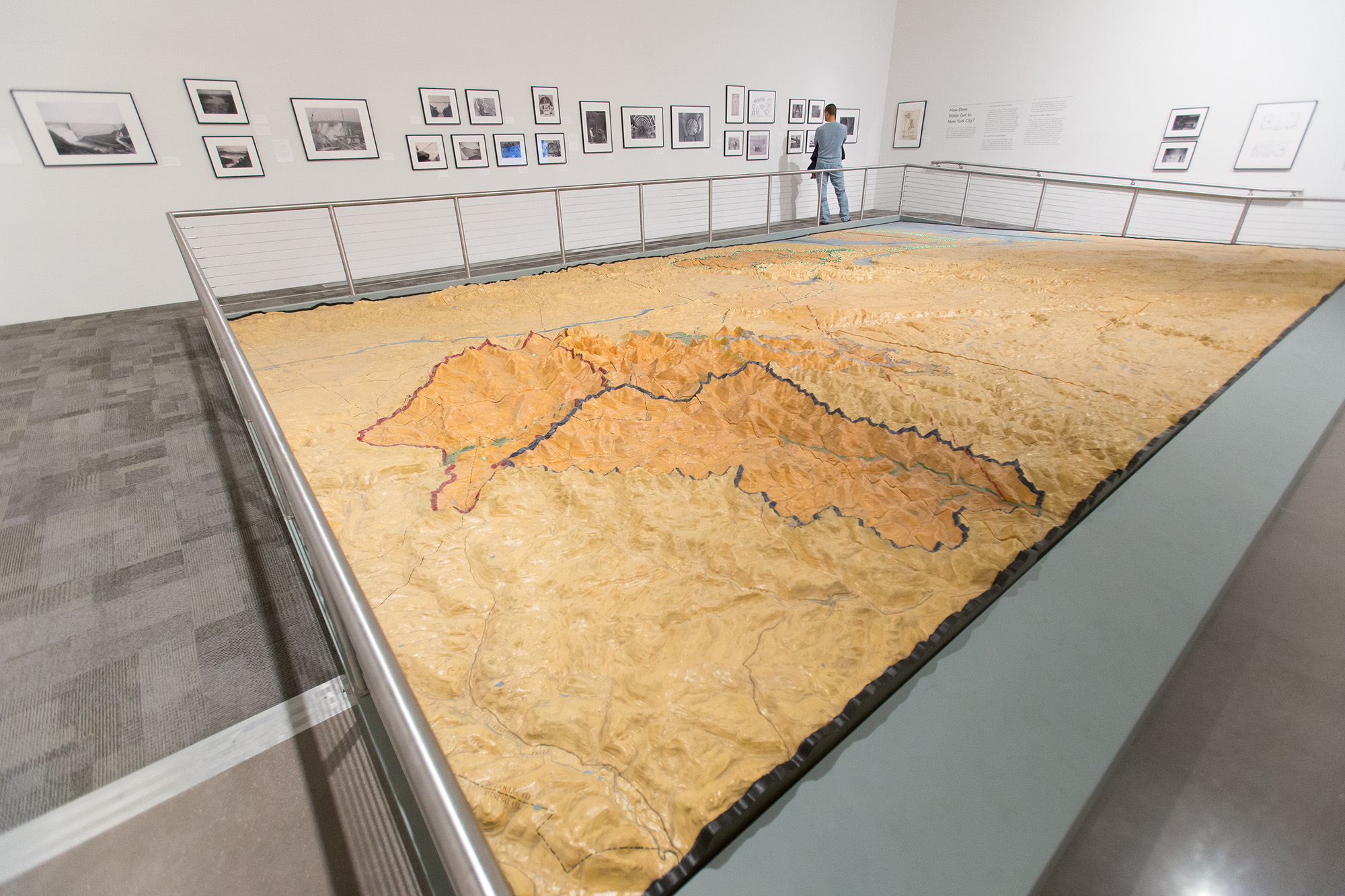
The Relief Map of the New York City Water Supply System
On Long-Term View
Image: The Relief Map of the New York City Water Supply System, 2013. Photo: Scott Rudd.
For the 1939 World’s Fair, city agencies were invited to produce exhibits for the New York City Pavilion, now the Queens Museum. Each exhibit shared “what the various branches of municipal government are doing to serve the citizens of today.
To educate New Yorkers about the water supply system, the Department of Water Supply, Gas, and Electricity, created the relief map now displayed at the Queens Museum. A team of cartographers began work in 1938 with a depression-era budget of $100,000, roughly $1.5 million in today’s dollars. But at 540 square feet, the model was too big for the allotted space. Ten years later, it made its only public appearance in the City’s Golden Anniversary Exposition at Manhattan’s Grand Central Palace.
In 2008, after decades in storage, the 27-piece relief map was in desperate need of conservation. The model was sent to McKay Lodge Fine Arts Conservation Lab in Oberlin, Ohio and restored to its original brilliance. In collaboration with the New York City Department of Environmental Protection, it will now remain on long-term loan in its originally intended home in the New York City Building.
The Watershed Model is one example of the use of models to inspire people about the grandness and complexity of New York City. This tradition continued at the 1964 World’s Fair with Robert Moses commissioning the Panorama of the City of New York, then and still the world’s largest full-scale architectural model, which is also permanently housed here at the Queens Museum. These models represent the Museum’s close ties to the history of our building, the history of this park, as well as to New York City.
Mapa en relieve del sistema de suministro de agua de la Ciudad de Nueva York
Para la Feria Mundial de 1939–40, se invitó a los organismos de la ciudad a producir exposiciones para el Pabellón de la Ciudad de Nueva York, que hoy es el Queens Museum. El mapa en relieve fue creado por el Departamento de Suministro de Agua, Gas y Electricidad para enseñar a los visitantes acerca de la cuenca y el sistema de suministro de agua de Nueva York, todo un logro de la ingeniería. Sin embargo, con sus casi 165 m2, el modelo era demasiado grande para la galería y no se exhibió hasta una década más tarde.
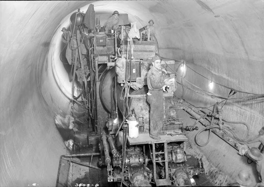
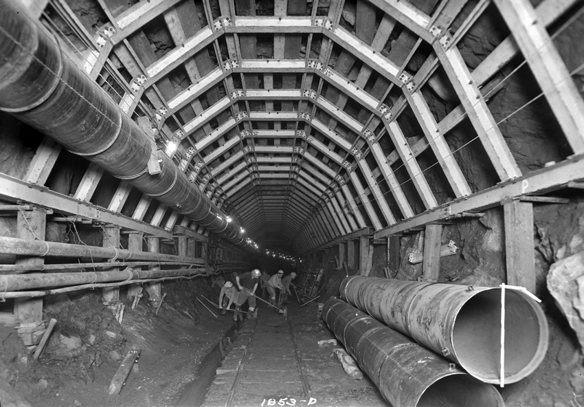
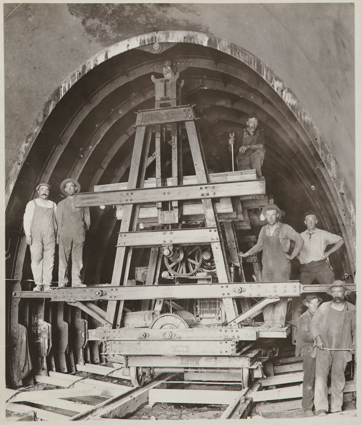
Discover Images of the Exhibition


Learn more about the exhibition
Supporters
The Relief Map of the New York City Water Supply System is owned by the New York City Department of Environmental Protection.
The Queens Museum is housed in the New York City Building, which is owned by the City of New York.
The Museum is supported, in part, by public funds from the National Endowment for the Arts, the Institute of Museum and Library Services, the New York State Council on the Arts with the support of Governor Kathy Hochul and the New York State Legislature, and the New York City Department of Cultural Affairs, in partnership with Mayor Eric Adams, the Queens Borough President Donovan Richards, and the New York City Council under the leadership of Speaker Adrienne E. Adams.
Major funding is generously provided by Bloomberg Philanthropies, Ford Foundation, Hearst Foundations, Jerome Foundation, Lambent Foundation, MacMillan Family Foundation, Mellon Foundation, E.A. Michelson Philanthropy, New York Community Trust, Richmond County Savings Foundation, and Rockefeller Brothers Fund.